ITEM SPECIFICS
-
Brand
Model IGIS-FMSFMS
-
origin
Republic of Korea
-
Size(Capacity)
Application
-
Function
Mobile GIS solution
-
Features
Convenient function & simple UI
-
Condition
Software
PRODUCT DESCRIPTION
IGIS-FMS
FMS is a mobile GIS Solution based on GIS map to support location-based research and editing required for field investigation.
- Convenient with the mobile environment
FMS, which was created with IGIS's years of know-how in developing geographic information software, boasts optimization and safety. As a mobile platform that takes into account the mobile integrated operating environment and scalability, it supports fieldwork with practical and convenient functions, allowing customers to experience the best work convenience. It is possible to perform tasks based on GIS by utilizing the GPS of mobile devices.
FMS, which was created with IGIS's years of know-how in developing geographic information software, boasts optimization and safety. As a mobile platform that takes into account the mobile integrated operating environment and scalability, it supports fieldwork with practical and convenient functions, allowing customers to experience the best work convenience. It is possible to perform tasks based on GIS by utilizing the GPS of mobile devices.
Various functions such as design drawing and completion drawing viewer, Shape & KML file support, and WMS can support easy and fast decision-making and establish an efficient work environment. It is a reasonable system for efficient work by making fieldwork easier and more convenient.
- Convenient Functions
It supports various convenient functions such as memo and tracking to help you build a smart and fast business. This can lead to the best experience and productivity.
It supports various convenient functions such as memo and tracking to help you build a smart and fast business. This can lead to the best experience and productivity.
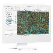
- Various Background Maps
It supports various background maps such as general maps and satellite maps, so it can be used for convenient location checking and various tasks depending on the situation.
It supports various background maps such as general maps and satellite maps, so it can be used for convenient location checking and various tasks depending on the situation.
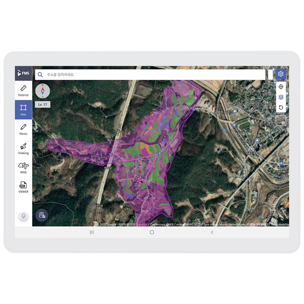
- Fast and Simple UI
Users can check the location of the work and check the high visibility screen when using various functions with the UI that catches users' eyes. The simple UI makes it easy for anyone to use without any inconvenience.
Users can check the location of the work and check the high visibility screen when using various functions with the UI that catches users' eyes. The simple UI makes it easy for anyone to use without any inconvenience.
PAYMENTS DETAILS
This supplier supports payments for offline orders
- WK
- Name : Nahee Yu
SHIPPING
Shipping from :
Republic of Korea
- 232 Alphacity 1-ro, Suseong-gu, Daegu (42250)
IGIS Co., Ltd.
The person in charge
Ho-Dong LeeAddress
232 Alphacity 1-ro, Suseong-gu, Daegu (42250)
IGIS
IGIS Co., Ltd.
Introduction
IGIS is an ICT solution company specialized in developing geographic information systems and geospatial data-based drone solutions. We satisfy our customers' needs in various industries with our solutions such as IGIS, a geographic information system, DFOS, a drone integration solution that encompasses drone flight, control and data management, and FMS, a specialized system for field management.
In the public sectors, our solutions are being applied to the systems of Korea Forest Service, Korea Forestry Promotion Institute (KOFPI), Seongju County and etc. In the private sector, we provide a software platform with a domestic large company for their hydrogen fuel cells-powered drones. With our own wealth of knowledge and practical experience, we are willing to support our partners in a variety of fields including construction, civil engineering, and so on.
-
- Business Type :
- Other
-
- Main Product :
- Drone Software, GIS
-
- Established :
- 2018-02-07
-
- Total Annual Revenue :
- 1~2 billion (KRW)
-
- Total Employees :
- 11~50 people
Please suggest a variety of your ideas such as design, impact, enhancements, etc
Captcha Required
Please enter the text on the left image to prevent automatic input.
0 / 4000
질문이 없습니다.
CUSTOMER REVIEWS (0)

TRADE EXPERIENCE
-
- Total revenue
- 1~2 billion (KRW)
-
- Total export revenue (previous year in USD)
- 0
-
- Number of foreign trade employees
- 11~50 people
COMPARISON TO SIMILAR ITEMS more
- No Items
- supplier level
- MEMBER
- IGIS Co., Ltd.
- Seller's Store url
- Response Level
★ ★ ★ ★ ★

- Supplier Level
★ ★ ★ ★ ★
- Transaction Level
★ ★ ★ ★ ★
SUPPLIER BEST